Access to the campsite

campsite near beaches

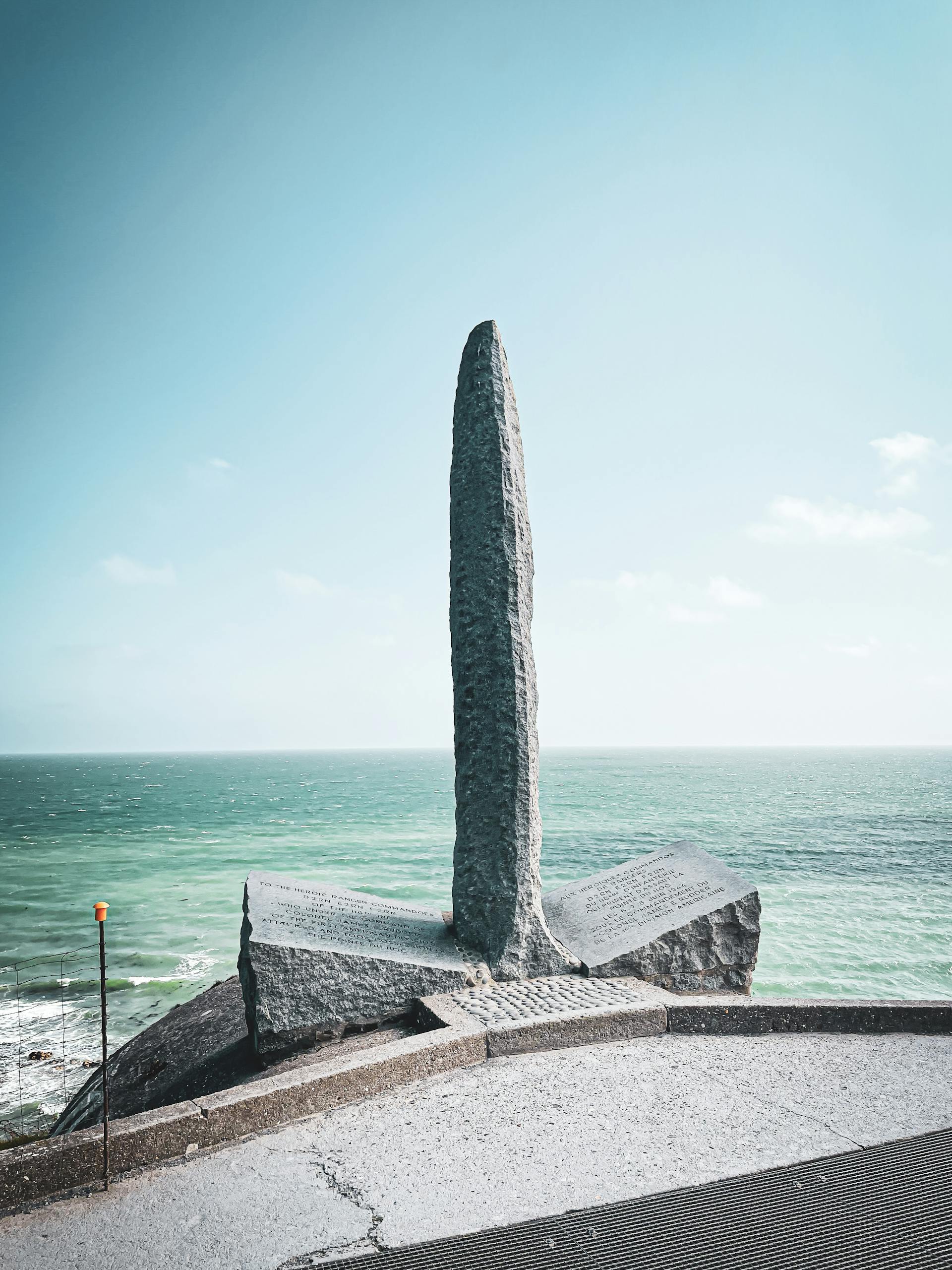
Camping Reine Mathilde *** is ideally located in Étréham, a small Normandy village just 4 km from Omaha Beach and the D-Day landing beaches. In the heart of the Bessin region, our campsite is easy to get to, whether you come by car, camper van, bike or public transport. Below you'll find all the information you need to reach us easily and start your Normandy holiday in the best possible conditions.

access

Access to our campsite in Étréham

Le Camping REINE MATHILDE3-star campsite in Normandy is nestled in a pretty, peaceful green setting in Etréham, 4 km from the seaat the centre of the D-Day landing beaches and the Bayeux tapestry.

Camping Reine Mathilde is located in the commune of Etréham in Normandy, and offers you the following facilities family holidaysThe Normandy campsite, weekends and holidays in camping in its seasonal rentals. A campsite at the best price to stay close to the sea in Normandy.

camping proche plage
access

Camping Reine Mathilde ***

Access by car or camper van

Camping Reine Mathilde *** is easily accessible by road. From Paris, take the A13 towards Caen, then the N13 towards Cherbourg. Exit at Bayeux and follow the D6 towards Port-en-Bessin, then the D514 towards Vierville-sur-Mer.

In Étréham, follow the signs for "Camping Reine Mathilde". From the north of France, drive to Caen and follow the signs above. From Cherbourg, take the N13 towards Caen, exit at Formigny and follow the D517 then the D514 towards Étréham.

The campsite is equipped with a charging point for electric vehicles (extra charge).

There is a spacious car park for motorhomes, with a dedicated service area (for emptying grey/black water and filling up with drinking water).

GPS coordinates and full address

Address: Camping Reine Mathilde ***, 12 Route de Port-en-Bessin, 14710 Étréham, France

GPS coordinates : Latitude : 49.348625 | Longitude : -0.942561

Telephone: +33 (0)2 31 21 76 55

Email : contact@camping-normandie-reinemathilde.com

When you arrive, go to the campsite reception where our team will welcome you and give you all the information you need for your stay.

A map of the campsite will be provided to help you find your way around.

In the event of late arrival (after 7pm), please give us advance notice by telephone.

How to get to Calvados cycling campsite

For cyclists, the Camping Reine Mathilde *** is an ideal stop-off point on the Vélomaritime (EuroVelo 4) cycle route along the Channel and North Sea coasts.

Our campsite, which has been awarded the "Accueil Vélo" label, is around 2 km from the main cycle route. A signposted cycle route allows you to reach the campsite easily from the Vélomaritime.

From Bayeux, follow the voie verte to Port-en-Bessin (10 km), then the Vélomaritime to Étréham (8 km).

From Caen, take the green route to Courseulles-sur-Mer, then the Vélomaritime to the west (around 60 km).

On arrival, a secure bike room is available, as well as a repair workshop with basic tools and a bike cleaning area.

Romantic campsite Normandy

For couples looking for a romantic holiday without a car, you can reach our campsite by a combination of train and taxi or bus.

The nearest SNCF station is Bayeux (15 km), served by direct trains from Paris Saint-Lazare (approximately 2h30 journey).

From Bayeux station, there are several options: take a taxi (approx. €30), hire bikes at the station for a romantic ride through the Normandy countryside, or take the Bus Verts no. 70 bus to Étréham (Mairie stop, then 500m walk to the campsite).

We can also organise a transfer service on request (book 48 hours in advance, extra charge).

Once you're settled in at the campsite, there are regular organised excursions to the surrounding tourist attractions.

access

Distances from tourist sites

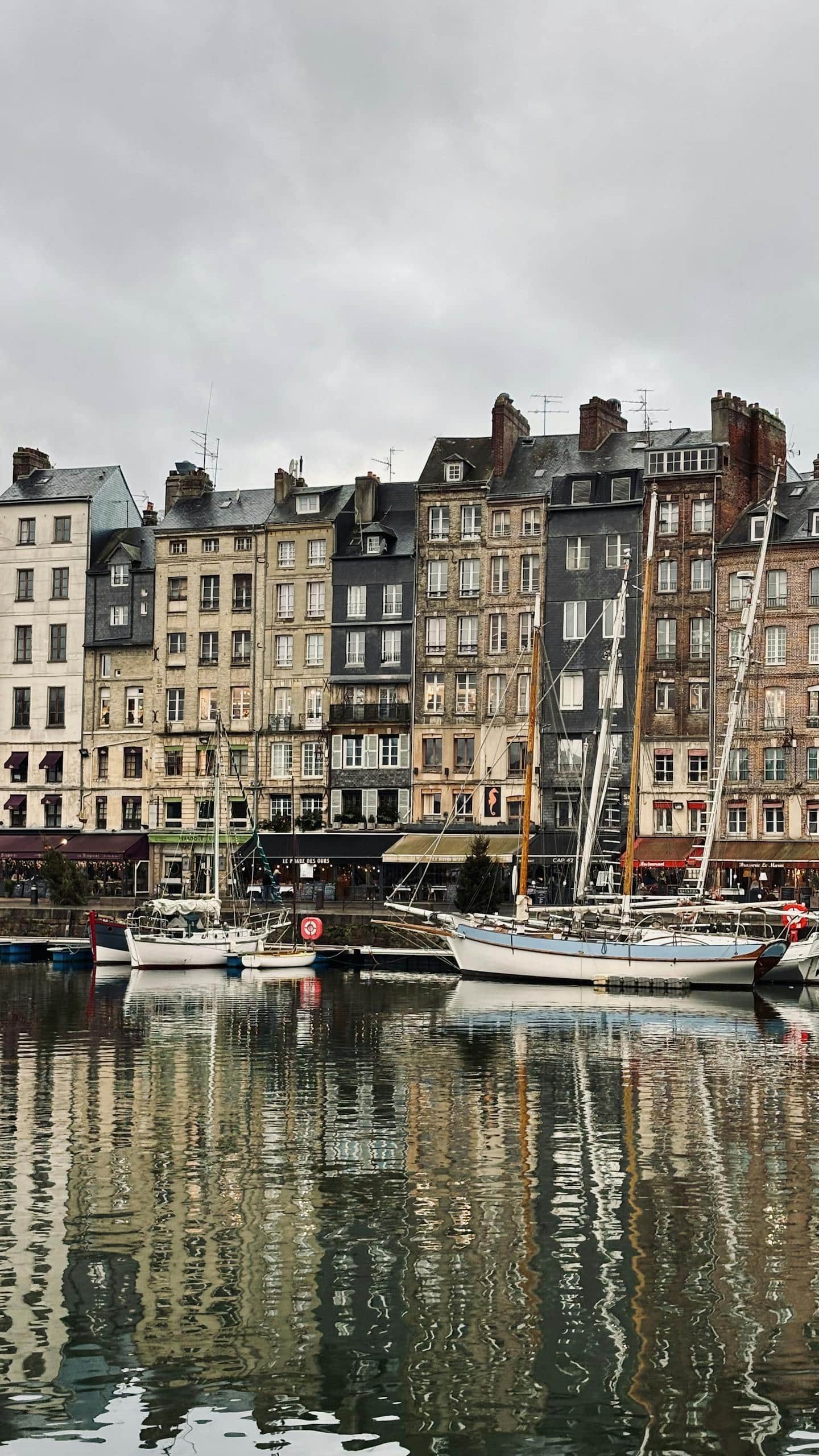
Camping Reine Mathilde *** is ideally situated for exploring the treasures of Normandy:

Historical World War II bunker located at Normandy, France with concrete fortification and gun turret.

Omaha Beach

 7 km
(10 minutes by car, 25 minutes by bike)

Historical World War II bunker located at Normandy, France with concrete fortification and gun turret.

Port-en-Bessin

10 km
(15 minutes by car, 30 minutes by bike)

Historical World War II bunker located at Normandy, France with concrete fortification and gun turret.

Bayeux

15 km
(20 minutes by car, 45 minutes by bike)

Historical World War II bunker located at Normandy, France with concrete fortification and gun turret.

Arromanches-les-Bains

12 km
(15 minutes by car)

Historical World War II bunker located at Normandy, France with concrete fortification and gun turret.

Pointe du Hoc

12 km
(15 minutes by car)

Historical World War II bunker located at Normandy, France with concrete fortification and gun turret.

Colleville American Cemetery

6 km
(10 minutes by car)

Historical World War II bunker located at Normandy, France with concrete fortification and gun turret.

Caen

45 km
(35 minutes by car)

Historical World War II bunker located at Normandy, France with concrete fortification and gun turret.

Mont Saint-Michel

120 km
(1h30 by car)

Historical World War II bunker located at Normandy, France with concrete fortification and gun turret.

D-Day landing beaches

(together)
0 to 35 km

Historical World War II bunker located at Normandy, France with concrete fortification and gun turret.

Honfleur

80 km
(1 hour by car)

Historical World War II bunker located at Normandy, France with concrete fortification and gun turret.

Deauville

85 km
(1 hour by car)

Historical World War II bunker located at Normandy, France with concrete fortification and gun turret.

Cherbourg

95 km
(1h10 by car)